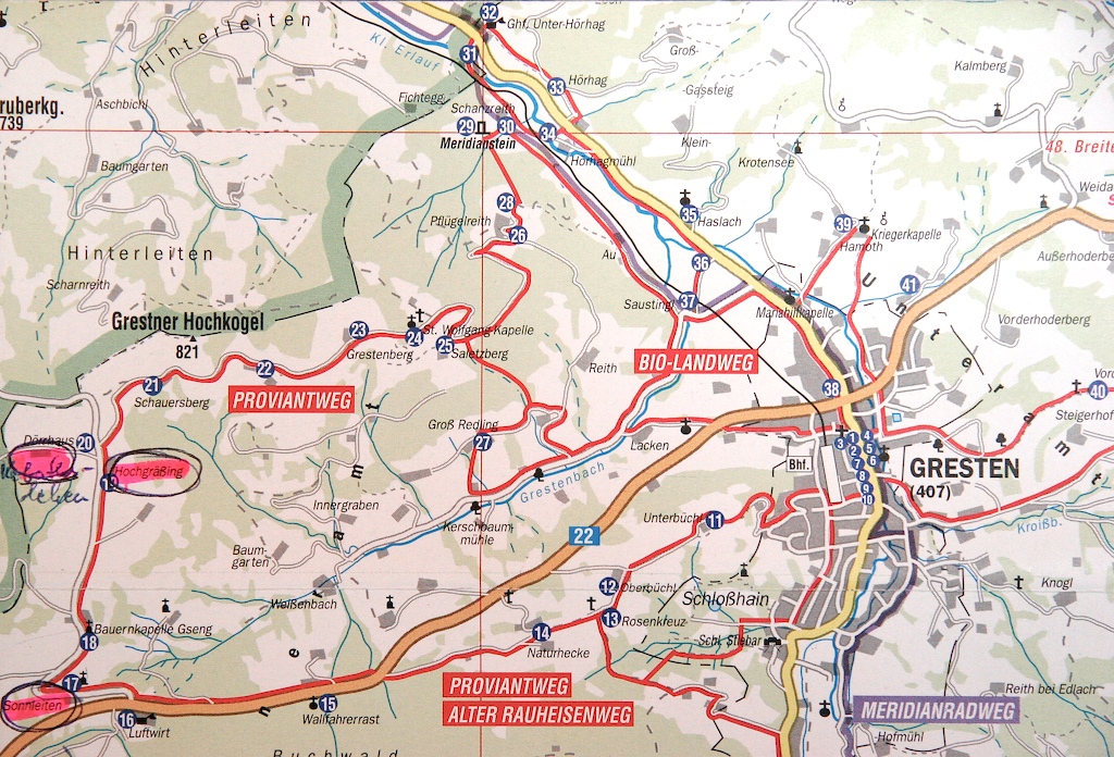
| This is a segment of a modern map of Gresten. North is at the top. The Hasselbacher homesteads of the early 1600's are circled. Just below Sonnleiten (and off the map) is a geologic structure named the Haselgraben in which flows the Haselbach. My cousin Annemarie provided me with these maps. |
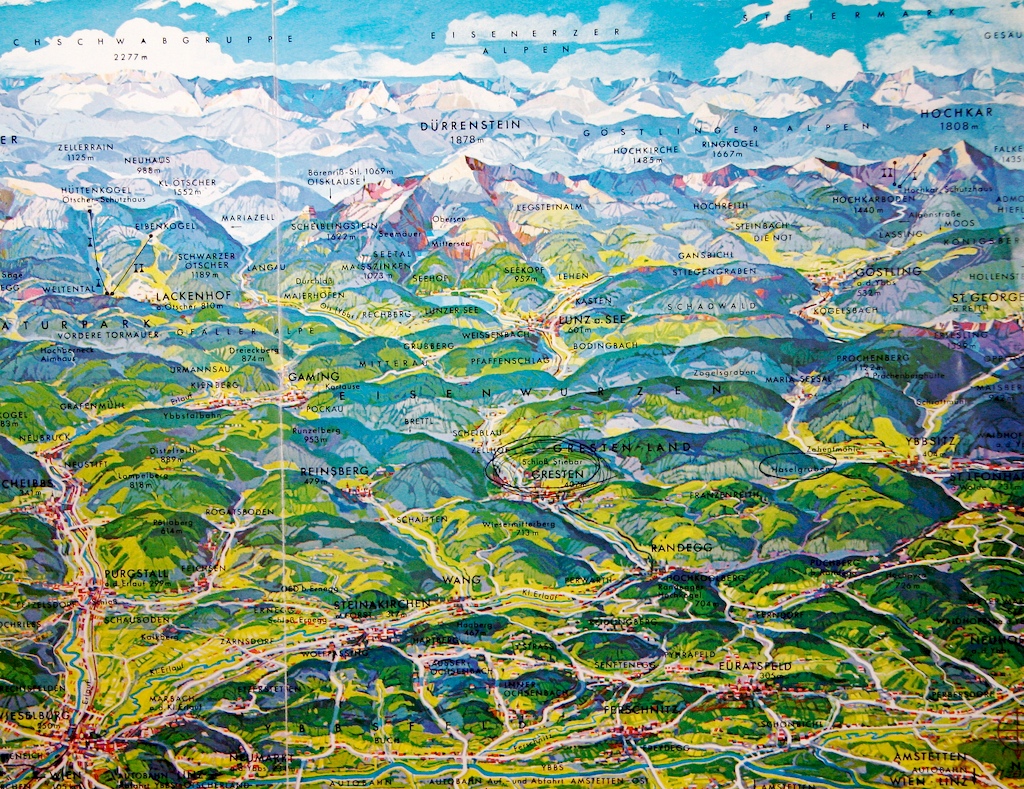
| The map below has North at the bottom. The Haselgraben is circled to the right of Gresten. The actual view from the Sonnleiten area can be seen here. |