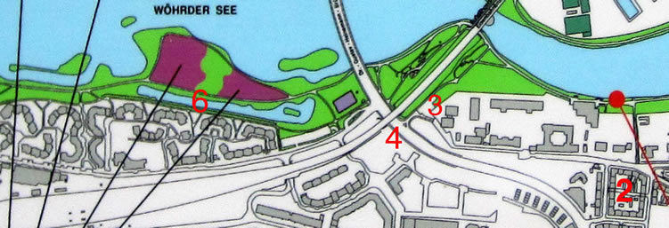
The image below is a detail from a sign posted in the park alongside the Wöhrder See. The apartment labeled #2 faces Veilhofstraße and is where my father was born. Veilhofstraße stretches to the left on the map passing an old-folks home, a school of music, a new building of unknown use, and finally turning a corner to the kindergarden building that is just to the right of the #3. The #3 itself sits in a parking lot about where the old bridge used to be.
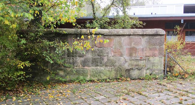
Just below the kindergarden buildings I drew a red a line locating the segment of old wall pictured below and in the video.

The map detail below shows the presumed location of the bridge from the photo (#3).
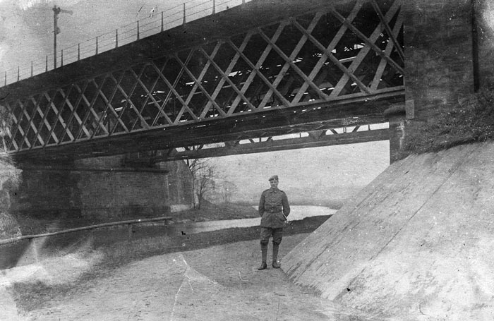
Here is an old photo from around 1916 of my Grandfather Conrad standing under a bridge he identified as the" Old Railroad Bridge at Mögeldorf." Today a road goes under the rebuilt bridge (#4), but the Pegnitz can be seen below. It is easy to imagine that the old waterway labeled #6 above would have gone under the railroad bridge and then under the peopled bridge of my original old photo. An old map discussed below confirms this is the case.
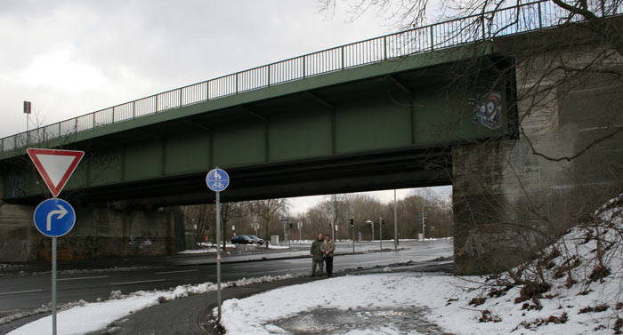
My cousins are standing beneath the bridge at Mögeldorf in 2005.
Addendum 29 Dec 2010:
After I prepared the above discussion, I was able to obtain a map of Nürnberg and Wöhrd from 1929. It confirms the discussion above and shows a small bridge in the expected spot. See the map with an overlay to modern Wöhrd on the next page.